A LiDAR flight campaign carried out in April 2025 allowed to acquire new in situ data to validate SWOT satellite observations.
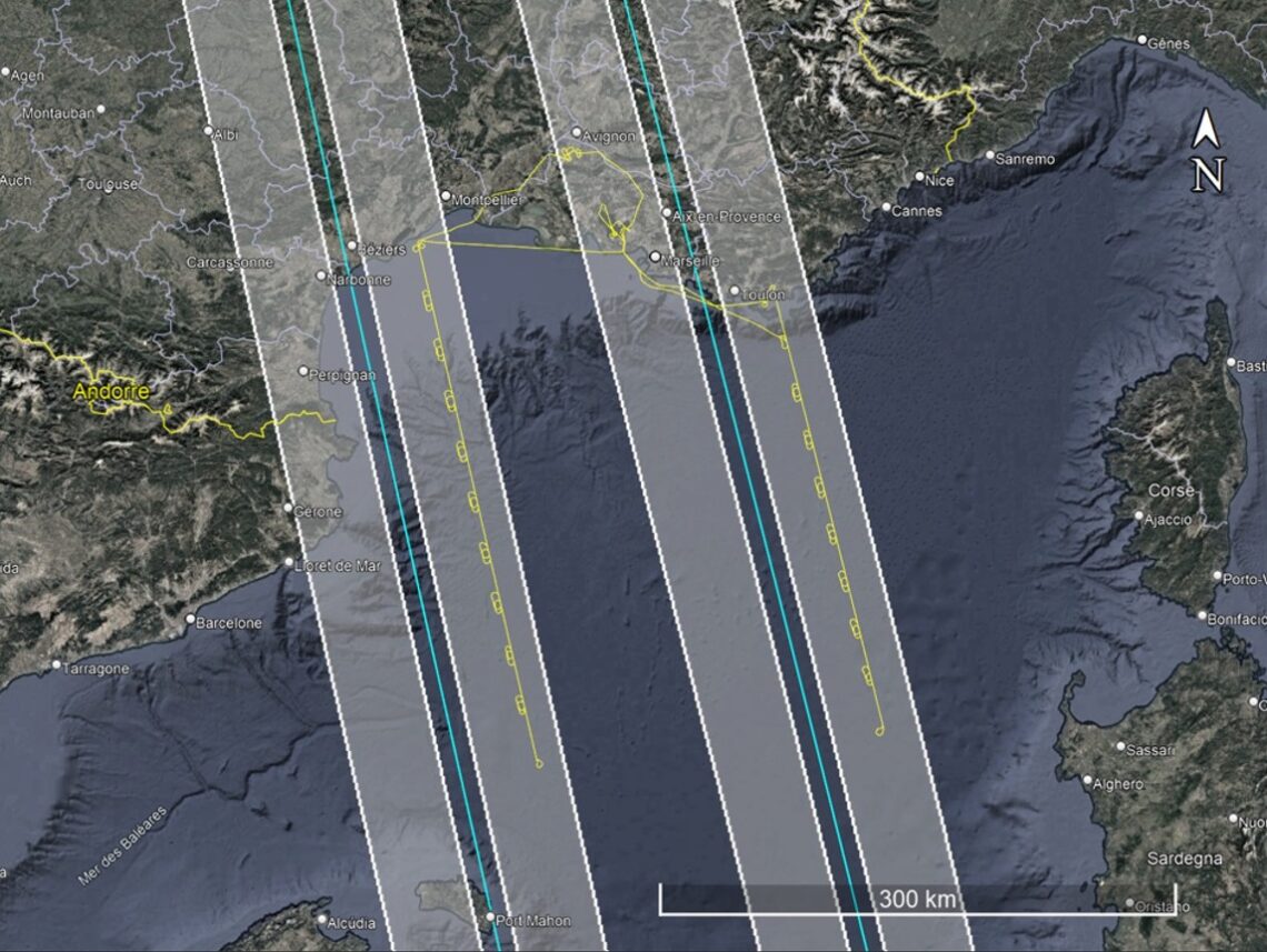
LiDAR flight campaign – April 2025
The SWOT fast-sampling phase is over, but SWOT data validation with in situ observation continues during the science phase. On April 6th and 7th, 2025, two airborne LiDAR flights were conducted over the Mediterranean Sea, aligned with SWOT overpasses in its science orbit. A third flight focusing on hydrological targets was carried out over the Rhône River on April 8th.
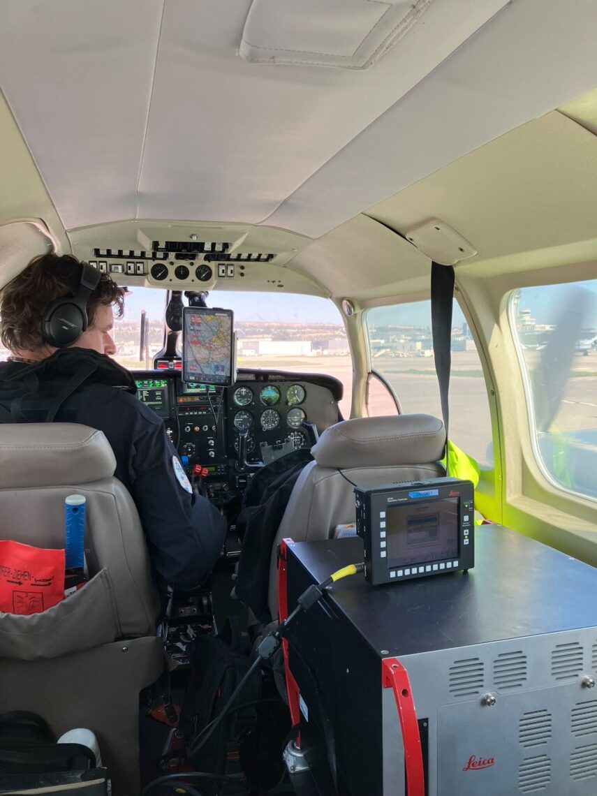
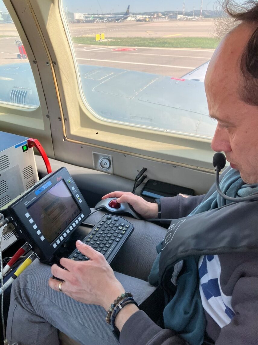
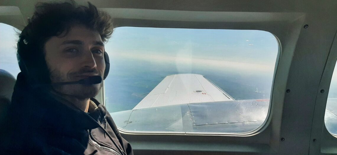
Onboard LiDAR operations. Clément Haynes (top), Maxence Guérin (bottom), and Christophe Conessa (right).
The campaign was conducted by the LiDAR team of the Continental and Coastal Morphodynamics (M2C) laboratory (UMR 6143 CNRS/University of Caen). These acquisitions are part of the continued effort to validate SWOT altimetric products over both ocean and inland water surfaces.
A complementary ground campaign will be conducted in May 2025 to collect high-precision DGPS ground control points, essential for geodetic calibration. Data processing and scientific analysis are ongoing.
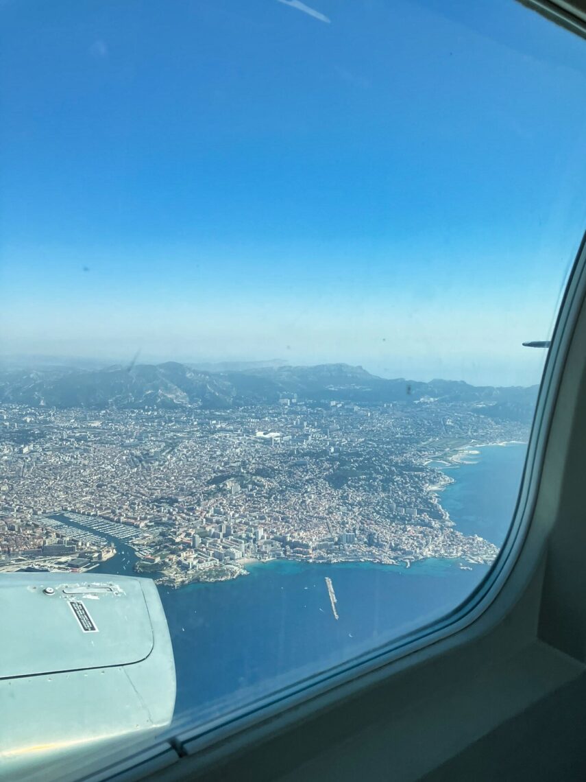
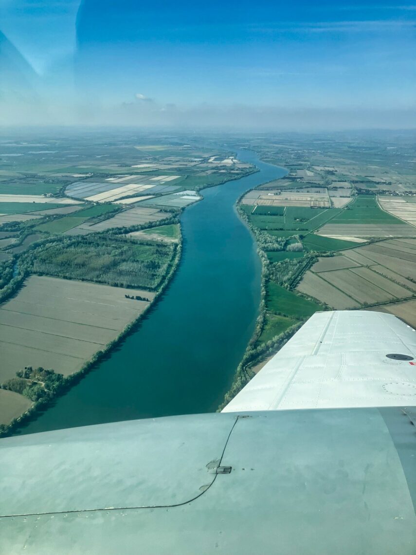

Aerial snapshots captured during the campaign. From left to right: the city of Marseille, the Rhône River, and the Mediterranean Sea during LiDAR acquisition.
Many thanks to the people involved in this campaign:
Christophe Conessa (onboard operator and mission lead), Laurent Benoit (ground operations lead – sensor installation and ground control campaign), Maxence Guerin (intern), Pixair Survey (aircraft provider), Clément Haynes (pilot), Christophe Maréchal and Claire Pottier (CNES support), Louise Rousselet (ocean forecast – LOCEAN), Nicolas Picot and Yannice Faugère (CNES coordination), Laurent Froideval (coordination and scientific supervision, ).
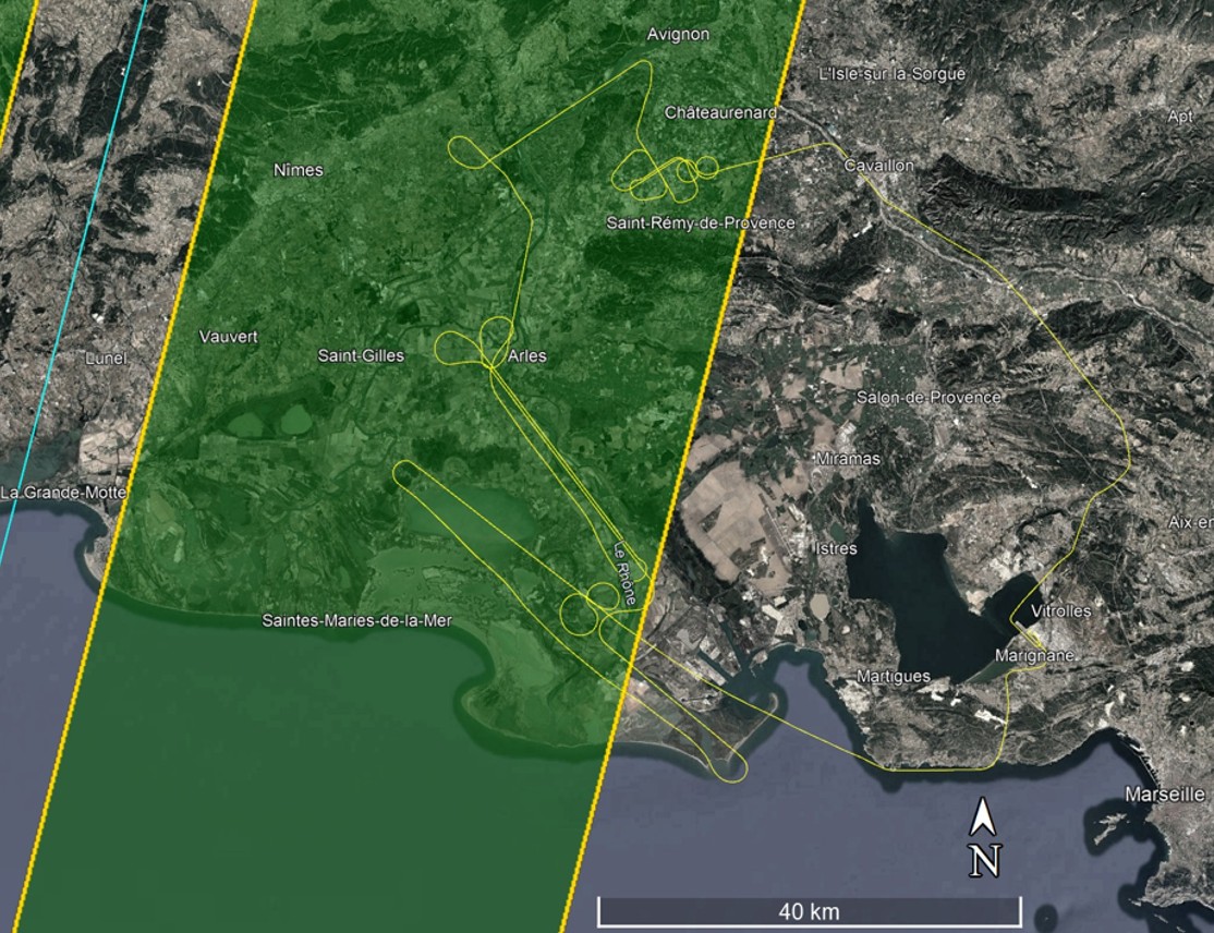
Flight trajectories. Ocean flights on Days 1 and 2 (left), hydrology flight on Day 3 (right).