The classroom activity Reading Ocean from Space helps students to explore how the SWOT satellite mission observes the ocean and freshwater systems, and to understand their role in climate science. It was developed by the Office for Climate education in partnership with CNES.
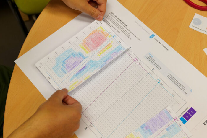
The Office for Climate Education offers a classroom activity created in partnership with the CNES, titled Reading the Ocean from Space, designed to help students explore how satellites are used to observe the ocean and freshwater systems, and understand their role in climate science.
This activity is part of The Climate in Our Hands – Ocean and Cryosphere handbook. It introduces students to the SWOT satellite mission and how it measures water surface height across oceans, rivers, and lakes.
Students discover that the ocean surface is not flat but shaped by currents and eddies, gravity and other factors and learn how these structures influence climate processes such as heat transport, carbon exchange, and sea level changes. Through collaborative activities and data interpretation, students connect satellite observations to real-world climate issues, including ocean circulation, permafrost thaw, and sea ice evolution.
The activity is suitable for natural sciences, geography, mathematics, and visual arts classes. The teaching method is based on inquiry-based learning, data simulation, collaborative (JIGSAW) activity.
Key learning outcomes
- Understand that the ocean surface has measurable variations (sea surface height)
- Explain how satellites such as SWOT observe the Earth system
- Identify ocean structures such as eddies and their role in climate
- Connect ocean observations to climate processes (carbon cycle, sea ice, freshwater systems)
- Develop data interpretation and collaborative reasoning skills
Download the The Climate in Our Hands – Ocean and Cryosphere handbook.
Citation: “The Climate in Our Hands – Ocean and Cryosphere, a teacher’s handbook for primary and secondary school”, Second Edition, Office for Climate Education, Paris, 2026.