Hydrologist using data assimilation algorithms of remote sensing imagery for flood modeling and forecasting.
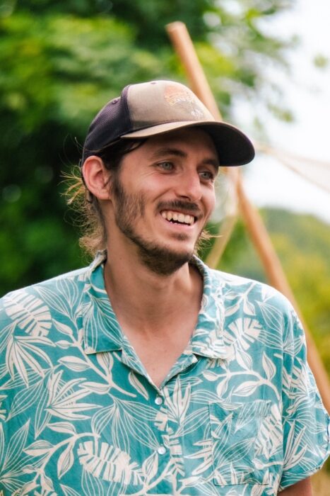
Quentin Bonassies holds a degree in agronomical engineering from INP-AgroToulouse (formerly INP-ENSAT). After his graduation, he worked as a hydraulic engineer at Artelia in Grenoble for one year. He then pursued a PhD at CERFACS (Toulouse) in collaboration with CNES and Collecte Localisation Satellites (CLS), which he successfully defended on April 21, 2026.
SWOT AdAC: What is your field of research and how did you choose it?
Quentin Bonassies: I am working on hydrodynamic modeling and data assimilation algorithm of remote sensing imagery for flood modeling and forecasting. When I was introduced to hydrodynamic modeling at Artelia as an engineer, I decided I wanted to pursue a path in this field. I applied for a PhD position at CNES for this three-part thesis project, and I was accepted. It is during my PhD that I have discovered the remote sensing field and data assimilation methods.
SWOT AdAC: How is your field of research related to SWOT?
QB: My PhD started in October 2022, just just before the launch of the SWOT satellite early in December of the same year. As my PhD was related to flood extent extraction and uses for data assimilation algorithms, I was curious as how to use this new dataset. Furthermore, my supervisors are members of the SWOT working groups focused on hydrology and data assimilation, which made my interest in SWOT data seem quite natural.
SWOT AdAC: What do you find exciting about SWOT (and the SWOT campaign during the fast-sampling phase in which you participated)? How did you contribute (to the campaign and) to the analysis of the data collected?
QB: By introducing this new KaRIn technology, SWOT allows us to (re)discover hydrology on both a global and local scale. I focused primarily on analyzing the Pixel Cloud product to extract flood extent data from the radar signal. I have shown that SWOT can detect (with some limits) flooded urban areas, forested areas and that it is sensitive to soil moisture. My study helps better comprehend SWOT radar signature and how it can be used for flood monitoring. During My PhD, I have also incorporated SWOT observations into data assimilation algorithm, showing the added value of having a new sensor for flood monitoring.
SWOT AdAC: What are your plans after you’ve finished analysing SWOT data?
YOUR ANSWER: After my PhD, which I discussed less than a month ago, I would like to continue working with SWOT and continue to be part of this adventure. Wishing to purse a research work, I am looking for a research engineer or a postdoctoral position.
Follow Quentin on LinkedIn