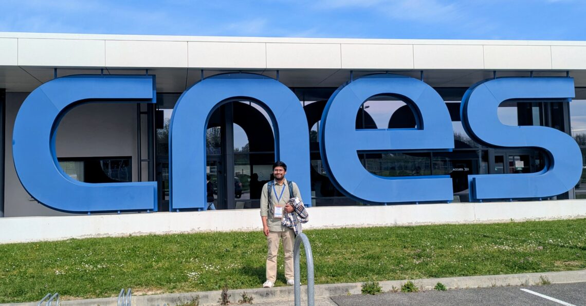
PhD student at the crossroads of remote sensing, coastal hydrodynamics and numerical modelling.
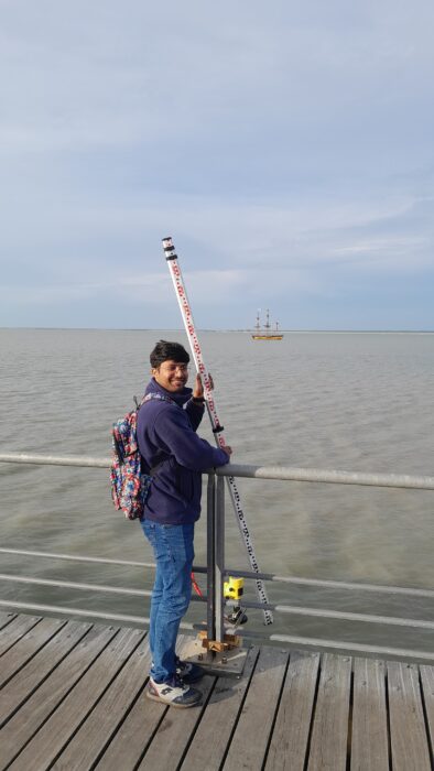
Md Saiful Islam is pursuing a PhD in Geology (Hydrodynamics) at the university of Rouen Normandy, France, in the framework of the COSMO (Monitoring of COastal hydrodynamics by combining Spatial observations and numerical MOdelling) project. Previously, he did a master in Geosciences and Coastal Geophysics at La Rochelle University, France.
SWOT AdAC: What is your field of research and how did you choose it?
Md Saiful Islam: My research is at the crossroads of remote sensing, coastal hydrodynamics and numerical modelling. More precisely, I work on ocean surface dynamic using new observation tools such as the SWOT satellite and LiDAR and I feed these data into numerical models to better understand and predict coastal flooding during extreme events. Simply, I try to see the ocean from space and make that useful for people living on vulnerable coast.
I chose this field both for personal and scientific reasons. I was born and raised in Bangladesh, where the coastline is very dynamic but also extremely vulnerable. Growing up, I saw how cyclones, storm surges, and coastal flooding could affect entire communities. So quite early on, I became interested in understanding these processes, not only from a scientific point of view, but also because of their very real impact on people’s lives. During my Master’s, that interest became more concrete. My M2 internship focused on nearshore hydrodynamics in the Bay of Bengal, where I worked with observational data to study complex coastal processes in a highly energetic environment. That experience really confirmed that this was the field I wanted to continue in. Later, I naturally continued this work through a PhD, where I am now studying coastal hydrodynamics in the English Channel.
SWOT AdAC: How is your field of research related to SWOT?
MSI: SWOT is really central to my work. What makes this mission so exciting to me is its ability to measure sea surface height at a spatial resolution we did not have before, especially in coastal areas and inland waters that traditional nadir altimeters could not capture well. For someone working on coastal processes, that is a major step forward.
In my research, I use SWOT water level data to study coastal hydrodynamics, basically how water moves and behaves near the coast. One aspect I am particularly interested in is the possibility of detecting coastal wave signals and following how waves transform (refract, diffract and shoal) as they approach the shoreline. With SWOT’s two-dimensional swath coverage, we can now observe processes in a much more detailed and spatial way than before, which opens very exciting possibilities.
I also use SWOT data to support numerical modeling, especially for model validation and, potentially, data assimilation. In coastal flooding studies, models are only useful if they are tested against reliable observations, and SWOT provides a new kind of spatially rich data that can really improve that work. I already have results in this area, with some published and others currently under submission.
SWOT AdAC: What do you find exciting about SWOT and the SWOT-AdAC campaign in which you participated? How did you contribute to the campaign?
MSI: Honestly, what excites me most about SWOT is that it lets us see things we could not really observe before. In coastal oceanography, there has always been a gap between open-ocean satellite data and local in-situ measurements like tide gauges. But the coastal zone itself, where a lot of important and complex processes happen, was still very difficult to capture from space. SWOT is starting to change that.
What I find especially exciting is the swath coverage. Traditional altimeters give us a line, while SWOT gives us a two-dimensional view. And when we want to understand things like wave transformation near the coast, storm surge propagation, or flooding in low-lying areas, that really changes the way we can study these processes.
I also like the fact that the science is still evolving. We are still learning how to use SWOT data in coastal regions, how to deal with the noise, and how to integrate the observations into models in a meaningful way. So, it feels like a very dynamic moment to be working on it, with real opportunities to contribute.
I’m part of a SWOT working group called Delta, Estuary and Coasts, DEC for short led by Imen Turki, Nadia Ayoub and Marc Simard. Our focus is coastal dynamics: deltas, estuaries, the messy, ever-changing places where land and sea negotiate, waves and tides interact, and extreme events drive the most vulnerability. SWOT has opened doors that were simply closed before for those of us working in this space, and right now the group is producing some genuinely exciting results, things we never thought could be tackled from space before SWOT launched.
SWOT AdaC: What are your plans after you finish analysing SWOT data?
MSI: For me, SWOT is part of a bigger picture. In the short term, I want to combine SWOT observations with LiDAR data, because I see them as very complementary, especially in coastal areas where detailed surface information is really important.
After that, I would like to go further into data assimilation, meaning finding better ways to bring these fine-scale observations into numerical models. I think that is where the real impact is, not only observing coastal processes, but also improving our ability to predict them.
More broadly, after my PhD, I would like to continue in this direction through a postdoc, staying at the intersection of remote sensing, coastal modeling, and practical applications. Ideally, I would also like my work to stay connected to vulnerable regions such as South Asia, where improving coastal monitoring and prediction could make a real difference.
SWOT AdAC: Besides SWOT, are you involved in another exciting research anD do you want to share something about it?
MSI: Yes, besides SWOT, I am also working with airborne LiDAR for coastal observations, and that is something I find very exciting. One of our main objectives is to extract wave spectra from LiDAR data and see how far LiDAR can be used as a high-resolution coastal observing tool. We are also working on retrieving surface currents from LiDAR, using field data from the English Channel and the Mediterranean, which is interesting because they are very different environments. Right now, we are still in the data processing and method development stage, so it is a very dynamic part of the research, and I really enjoy that because it feels like we are building something new.
Campaign / Project: Monitoring of COastal hydrodynamics by combining Spatial observations and numerical MOdelling (COSMO)